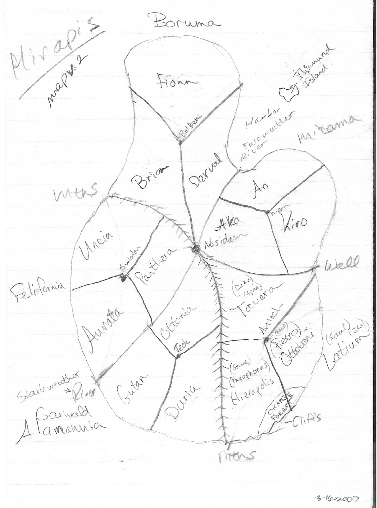
Drawing the
map for Hirapis has proven quite the challenge because I have very
little drawing skills, despite my college art professor's best attempts
at teaching me. Some people just are unteachable. Also I drew the map in a
portrait (vertical) layout rather than a horizontal (landscape) layout
because I don't want the map to be across two pages in a book, nor do
I want readers to have to turn the book to look at the map. The current map is a very rough
working version. My husband is creating a much nicer version
using Campaign
Cartographer, a map drawing program for role
playing
games. The
five lands are called Boruma, Mitama, Felifornia, Alamannia, and
Latium. I explain more about these names and lands on a
different page. It's not on
this
version of the map, but two countries border Hirapis: Vengaio
is
to west, and Ranani is to the south.
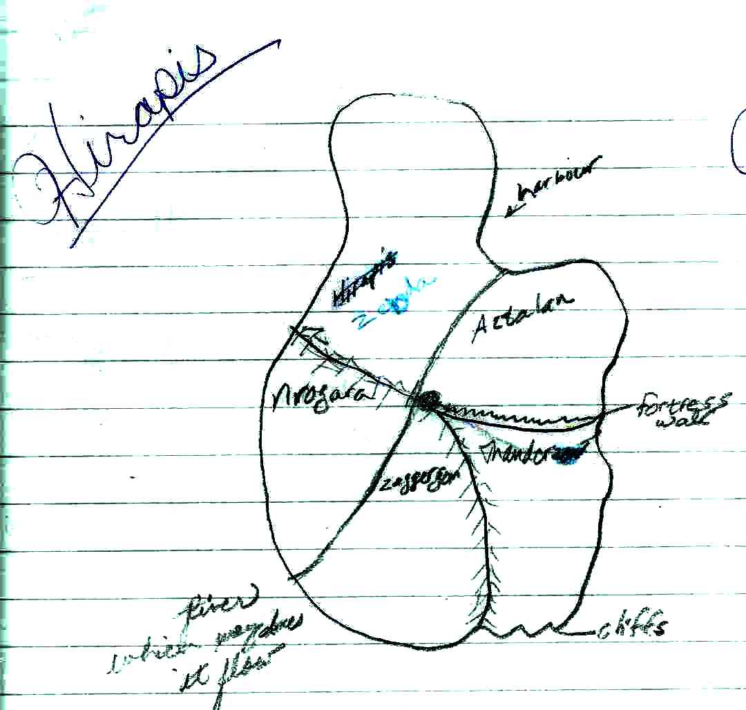
I started drawing the earliest version of the Hirapis map
years ago:
You can see
some of the original ideas for names of the
lands: Hirapis or Zebda, Aztalan,
Nrogara, Zaggeron, and Thander. Please
don't ask me to explain these names. One is fairly obvious
and
even more obviously
silly. I had a habit of using names from
other literature that I liked, but reversing them, until my husband
pointed out that this is a ridiculous practice.
 Hirapis.com